As the calendar pages turn from July to August, our days in Ocean City get down to a handful, and the start of our “Big Adventure” is just weeks away! Once we get back to Long Island next weekend, we’ll have a couple of weeks to get clothes together, schedule the car to be checked out, take care of visits to the Doctor and Dentist, take care of nail and hair appointments, and see our kids before we leave. Then on Sunday, August 21st, with the car loaded, off we will go. A combination of sadness (that we are leaving the life we love in Ocean City), excitement (that this trip we have so long dreamed about and planned is really here), and trepidation (are we nuts to embark on 2-3 months of driving around the United States????) is our current state of mind, but we know that once we get on the road, we’ll have a great time!
Recently, a friend who has been following along with this blog asked a question about where to get information. He too wants to embark on a retirement trip, but he just didn’t really know where to start. It started us thinking about what our process has been, and thought some might find it interesting to take a look at some of the tools we have used along the way. This is by no means a comprehensive list, but just some ideas we have used to get a handle on some of the places we want to visit and how to get there.
 1 – The AAA. As long time members of the American Automobile Club, we have always used AAA Maps and Tour Books as our road trip bibles. If you are of a certain age, you will understand what we mean when we say there is just something about watching your progress on a paper map that seems to define a road trip. Luckily, some of the best paper maps you can get, are published by the AAA, and are a perk of your membership. In addition to the maps, the tour books have a wealth of knowledge about tourist destinations as well as hotel and restaurants listings in the area. If you are an AAA member, you can order maps, tour books and even triptiks (route directions) online. You can also just stop into a local AAA office (doesn’t have to be the state AAA you are affiliated with) and pick up maps, tour books, and even triptiks. Having a paper map in front of you so that you can check the location and relationships between places you want to visit is a must when planning a trip, and the tour books will give you valuable information about the places on your trip and be very helpful in deciding what you want to visit. If you are a member, stop in and pick up a couple of maps and tour books and start planning. If you are not a member, consider joining, as the price of your membership will be well worth it for the information you can get. (aaa.com….yearly membership $52)
 2 – Atlas – Because many people would not consider a road trip without a comprehensive road atlas, we purchased a Rand McNally Road Atlas. This one volume contains maps of all 50 states and lower Canada and assures us that we will always have a map showing our location, wherever we are in the US. The scale is smaller than the AAA maps which sometimes makes it hard to figure out exactly what you’re looking at, but sometimes makes it easier to see the relationship between two destinations. While we’ve used this volume a lot in our planning, for our actual trip we think it will take a back up roll to the bigger scale AAA maps.
 3 – Books – One of the things that you need to do when you are planning a road trip, is to decide what you want to see. If you have a “bucket list” of places that you want to include (like Frank wants to see Mt. Rushmore and Sue Yellowstone and the Grand Canyon), it will make your planning easier, as you already will have destinations in mind. If your “bucket list” is empty, or if you need more information about places, there are thousands of travel books you can purchase via Amazon or at a book store like Barnes and Noble that will help you flesh out an itinerary. Two that we have used are, “1,000 Places to See in the US and Canada Before You Die” (Workman Publishing, NY) and The New Roadside America (a Fireside Book published by Simon and Schuster, NY). The first covers everything from National Parks, historic sites, scenic byways, and the like, while the second will lead you to the odd things…like the biggest thermometer, ball of twine and those kind of offbeat attractions.

4 – Google and the Internet – We live in the age of information at our fingertips, and much of the info you’ll want to plan your trip is available via your computer, tablet, or even smart phone. Google will lead you to just about anything you have a question about, and virtually everything has a website these days. Want more info on the Grand Canyon? Type it into Google and go right to the Grand Canyon National Park’s website. While it’s nice to have books in hand, the reality is that you can find everything you need on the internet.

5 – Trip Advisor – While we are talking about web sites, we’d like to single out one that has provided us with lots of information and advice. Trip Advisor (www.tripadvisor.com) is virtually a one stop destination for travel information. From hotel, restaurant, and attraction reviews, to information about the area, even to listings of hotel and apartment rentals, Trip Advisor is a great source for travel information. Just put in the area you are interested in visiting, and Trip Advisor will provide you a complete overview. In addition, hit the MORE button on the top of the page, highlight TRAVEL FORUM and it will open up the Travel Board where you can ask questions and get real advice from fellow travelers! From Cities and States, to National Parks and Historic Sites, to every kind of trip (like Road Trips), you can find a forum that covers exactly what you are looking for, populated with knowledgeable travelers looking to help their fellow travelers. A great resource.
 6 – Google Maps – Looking at places on a map gives you an idea of where they are and the relationship of places to each other, but how do you know how long it will take you to get from say Chicago to the Black Hills? This was the position we were in when planning some sections of our trip, and we found an easy way to get a ball park estimate was to use Google Maps. Enter your starting point and your destination, ask for directions, and it will tell you not only the mileage but give you an idea of the driving time. Now, we know that it’s not fool proof, but we think it’s a good way to get an estimate so that you can make some decisions based on facts.
7 – Hotel Apps – If you have a smart phone or a tablet you can travel with, hotel apps are a great way to see what’s available and even to make reservations. At the present time, I have apps from Best Western, Hilton Honors, and Choice Hotels on my phone, but there are many others. If you’re going to be traveling a lot, not only do these apps help you find lodging, but by joining their programs, you may even get free stays!
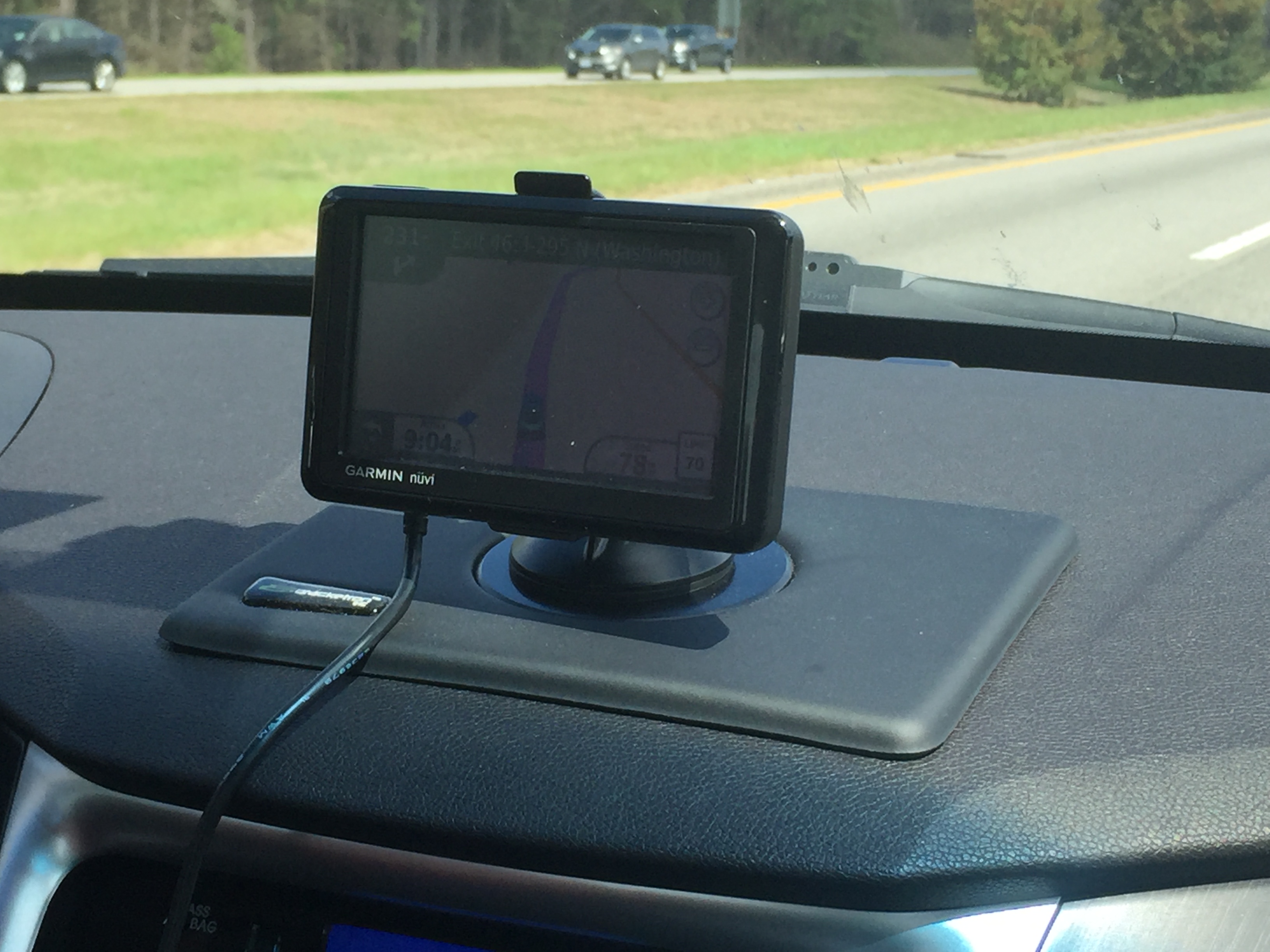
 6- GPS – While we like printed maps, we always travel with a Garmin GPS on our dash. It’s very handy when you are trying to find a hotel or site that you have an address for, and good to give you an idea exactly where you are. In addition, ours tells us what the local speed limit is, how fast we’re going, and also keeps us updated on traffic. We don’t depend on it totally, as we always try to have maps as a reference, and I’ve read on the internet that using a GPS in the American Southwest is iffy at best, as they are notoriously inaccurate there for some reason, but it’s a good tool to have in your tool box.
So there it is…some ideas from us, and how to go about planning and executing your trip of a lifetime…or perhaps just a trip down to Florida in the winter to avoid the January and February freeze! Probably the next time you hear from us, we will be on the road, but now we have to continue packing up the Ocean City house, and get ready for 2 weeks of trip preparation!







 We started by collecting AAA Tour Books for most of the states. We also have added a couple of books with listing of things you absolutely must see across the United States. Some are wacky, like the World’s Largest Ball of String, but many are just not to be missed attractions. Susie has been going through the books taking notes, and the last two days we have both been working diligently on the tour books, and putting together a list of MUSTS for the trip. We also figured that places like Chicago or Detroit were close enough to the East Coast to be other shorter trips, and our intention is to concentrate on more of the Western United States. We figured to head west on a northern route, and return east on a more southern route, hopefully keeping summer weather with us for most of the journey. The first “must” we planned on hitting was Mount Rushmore, to satisfy Frank’s long desire to see it in person (too many viewings of North by Northwest).
 While our plan is to basically wander in the general direction of the west coast, we understand that to stay in some places that are on the “Must List” of ours, we were going to need reservations. Three of those places are Yellowstone National Park, Grand Canyon National Park, and Monument Valley. We’ve read online that reservations at these 3 places need to be made months in advance, but figured that as we were 5-6 months out from our dates, we were still within the window of opportunity. Yesterday afternoon, we discovered that we didn’t have all the time in the world, and that our window of opportunity was about to slam shut! So our trip, that before yesterday was still kind of in the imaginary stage, just moved into the realm of reality! We discovered that there were very few availabilities left, and that if we wanted to stay on-site in these three places, we needed to act ASAP. Needing to make those reservations meant that we had to really look at the trip in earnest, decide what we really wanted to see, and forced us to actually come up with a timeline, while still leaving lots of open time to just check out neat looking things and places along the way.


 Okay, so Frank gets a discount on hotels, food, and merchandise thanks to his Disney Retiree status, but even with that, it is not a cheap place. Every night, we


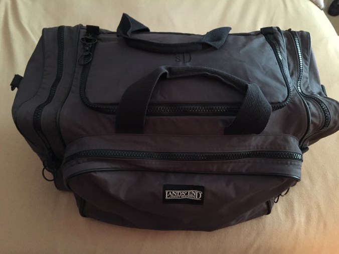


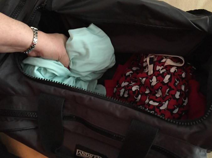
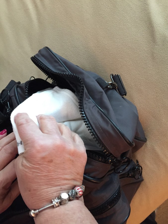
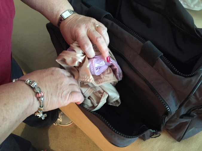
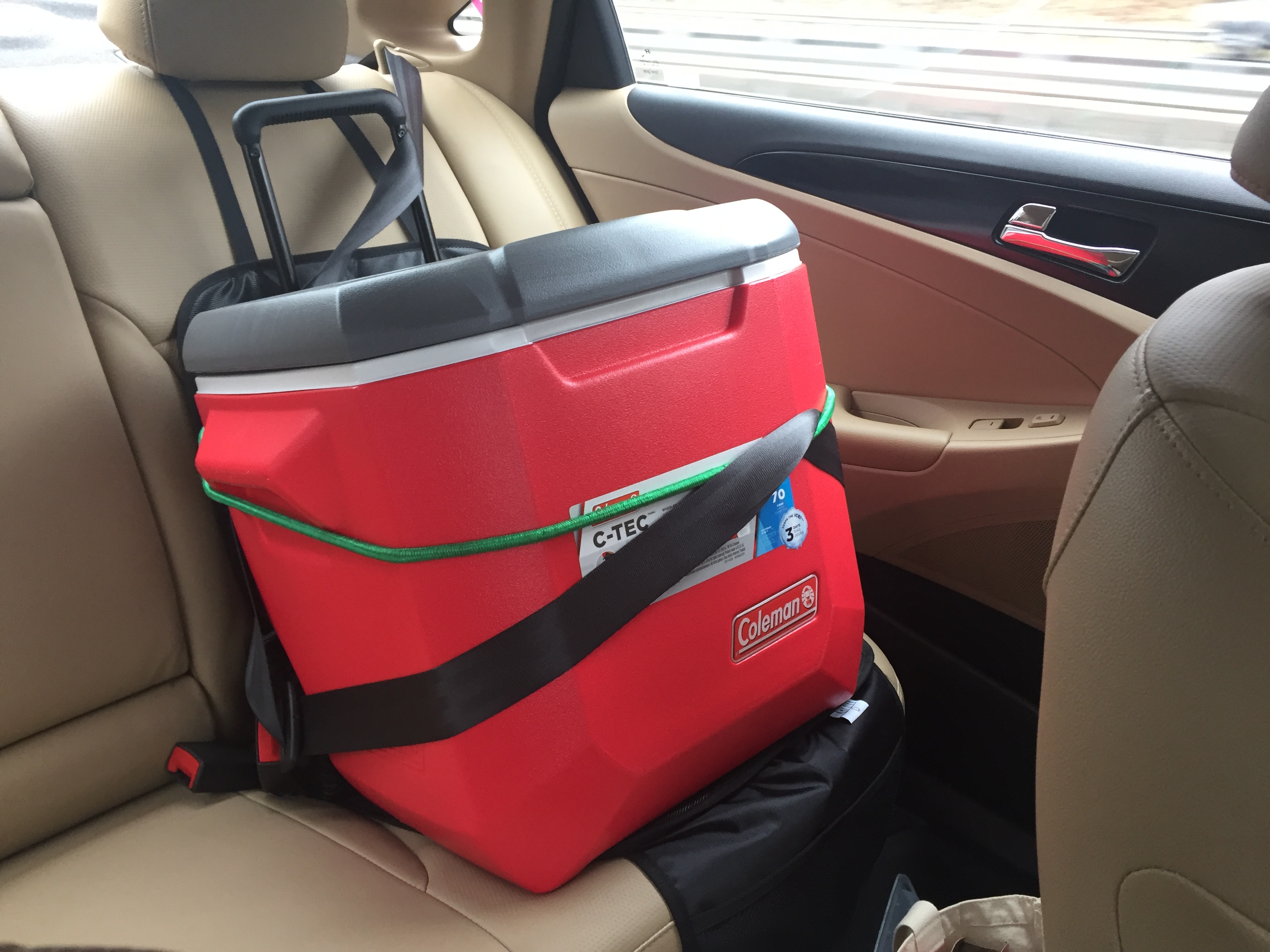
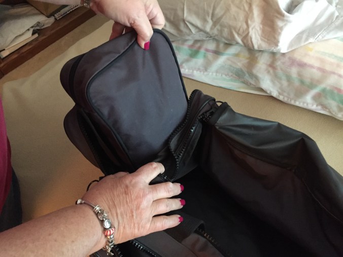 In the left side pocket was our toiletries bag.
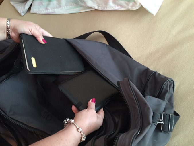 And in the back pocket, our two Kindles.
 If you remember, our big plan today was a slight detour to Total Wine in Claymont, Delaware to see if the stories our friends told us about the
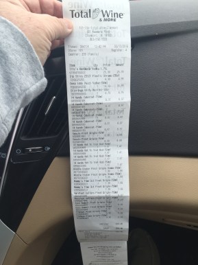
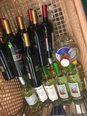 great wine prices were true. Well, they were definitely true, as we saw and bought a lot of great deals! For example, we found 14 Hands Cabernet that Krissi and Kenny like for $8.97, when the best prices we find for that locally is $13.99. Also, their Red Blend for $7.47, when we think $9.99 is a good price here. It’s only about an hour and a half trip from Ocean City, so we definitely will be heading there again. I’d say we got about $400 of wine for $225! Thanks to our OC Family members Doc and Denise for telling us about it. Can we get you anything there?
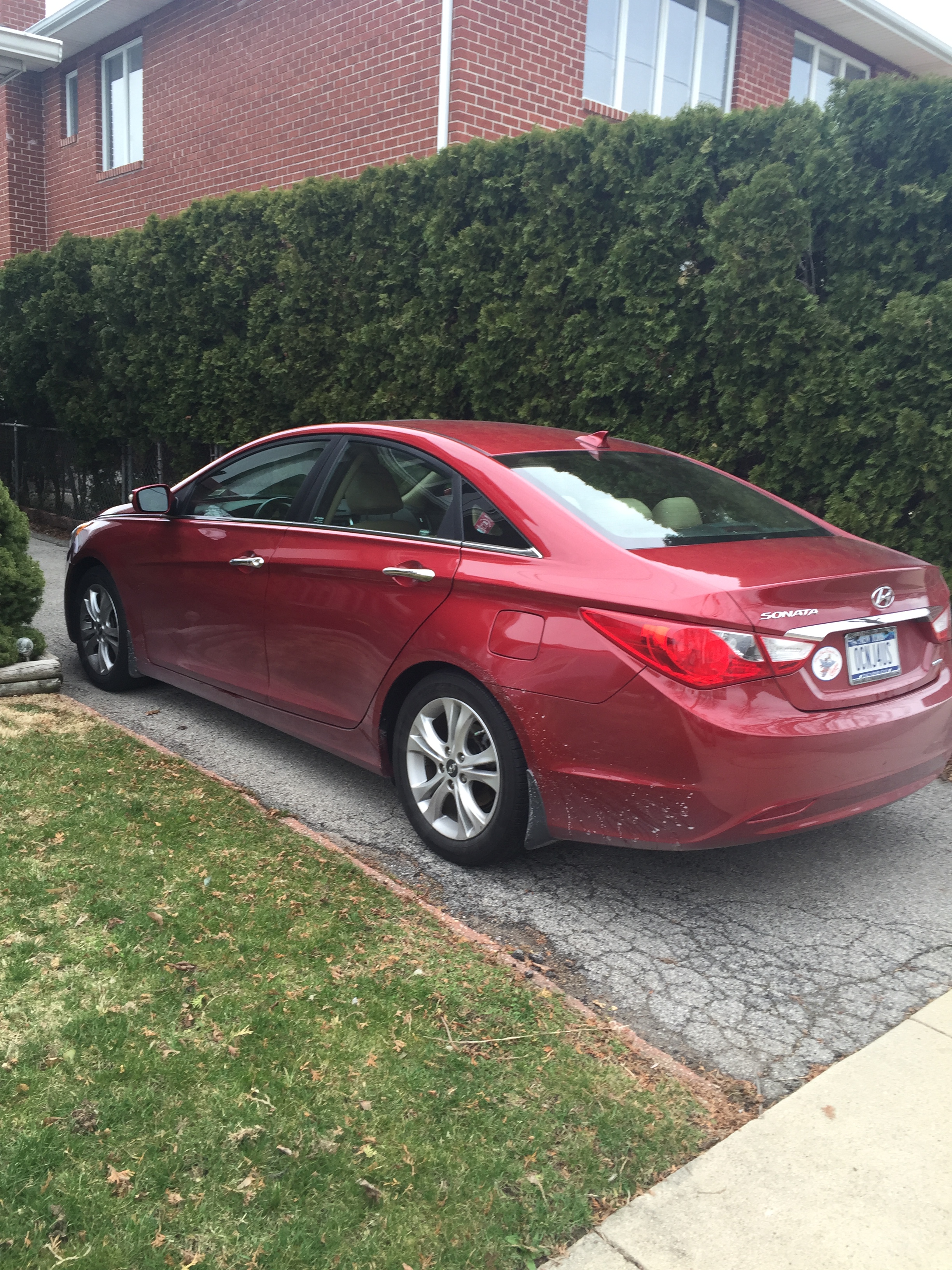
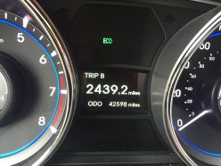 So we pulled into the driveway, having traveled 2439.2 miles since we pulled out of the same driveway on Thursday morning, March 3rd. We had lots of fun along the way, loved being in Florida spring weather for a week, and verified that we do love road trips and all that’s involved in them. It’s fine to hop on a plane and rent a car at the other end, but there is something so connected about driving from place to place, sampling local customs, foods, and scenery, and the thrill of reaching your destination is great. Perhaps Frank has read John Steinbeck’s Travels With Charlie too many times, or perhaps Mr. Steinbeck was right when he talked about the wanderlust that exists in all Americans. Like those who went before us on the Oregon Trail, perhaps its our destiny as Americans to explore our country.
 So, we are home, we are unpacked, we have started on our “Welcome Home” Martinis, and the Chinese food has been ordered and is on it’s way! What a wonderful way to end a wonderful vacation. Back to work tomorrow…well, yes and no…that means we have laundry to do, bills to pay, and need to get back to Ocean City! Great work, if you can get it!!